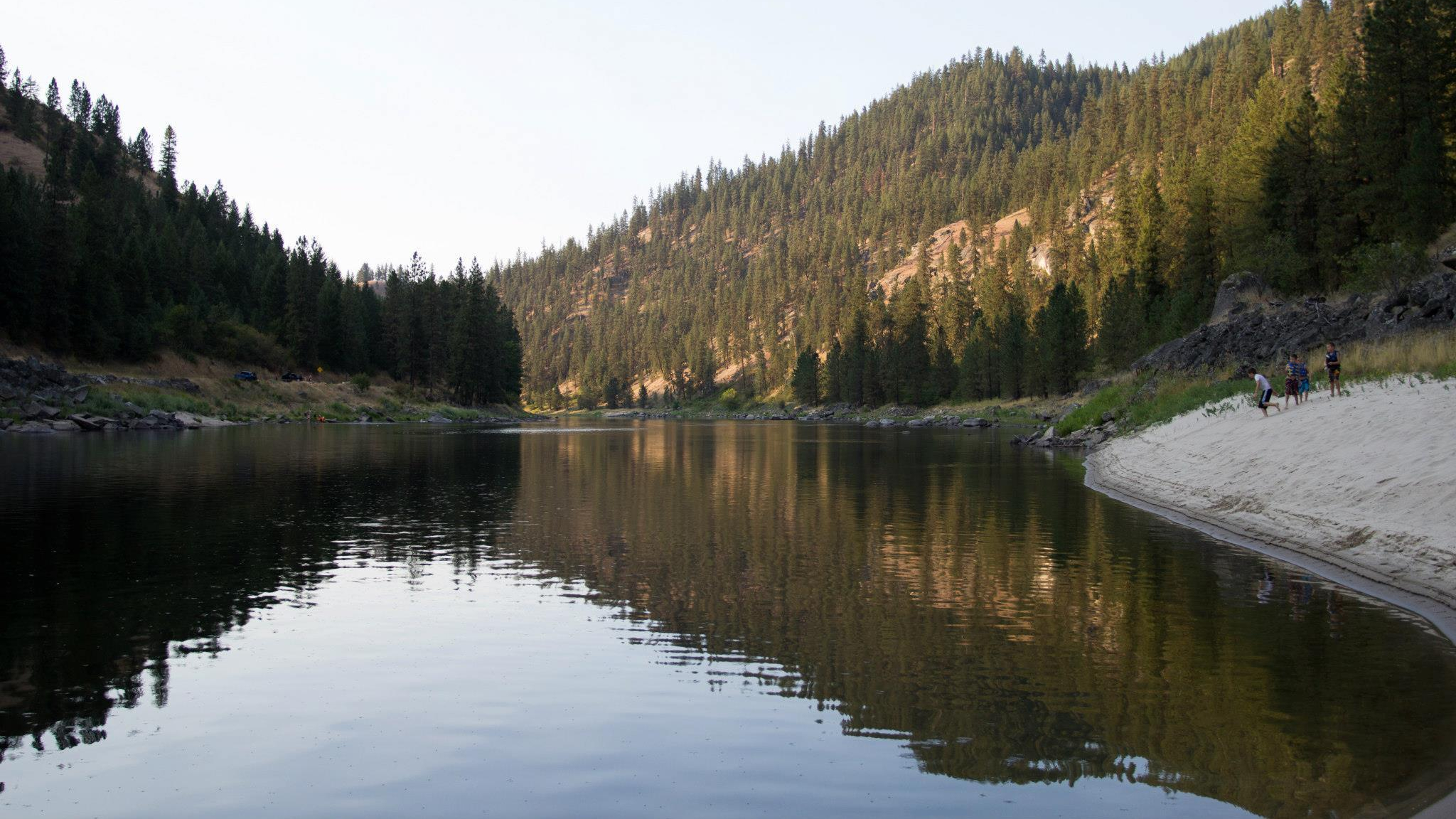
Want a unique experience? How about floating the Clearwater River? This is an opportunity to travel over the same water-route used by the Nez Perce Indians, trappers and traders, miners, and the settlers; not to forget the 1806 Lewis-Clark Corp of Discovery that navigated these same waters in rough-hewn log dugouts canoes.
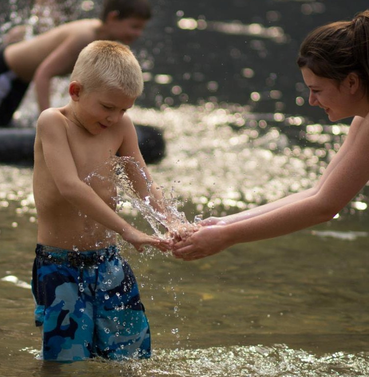
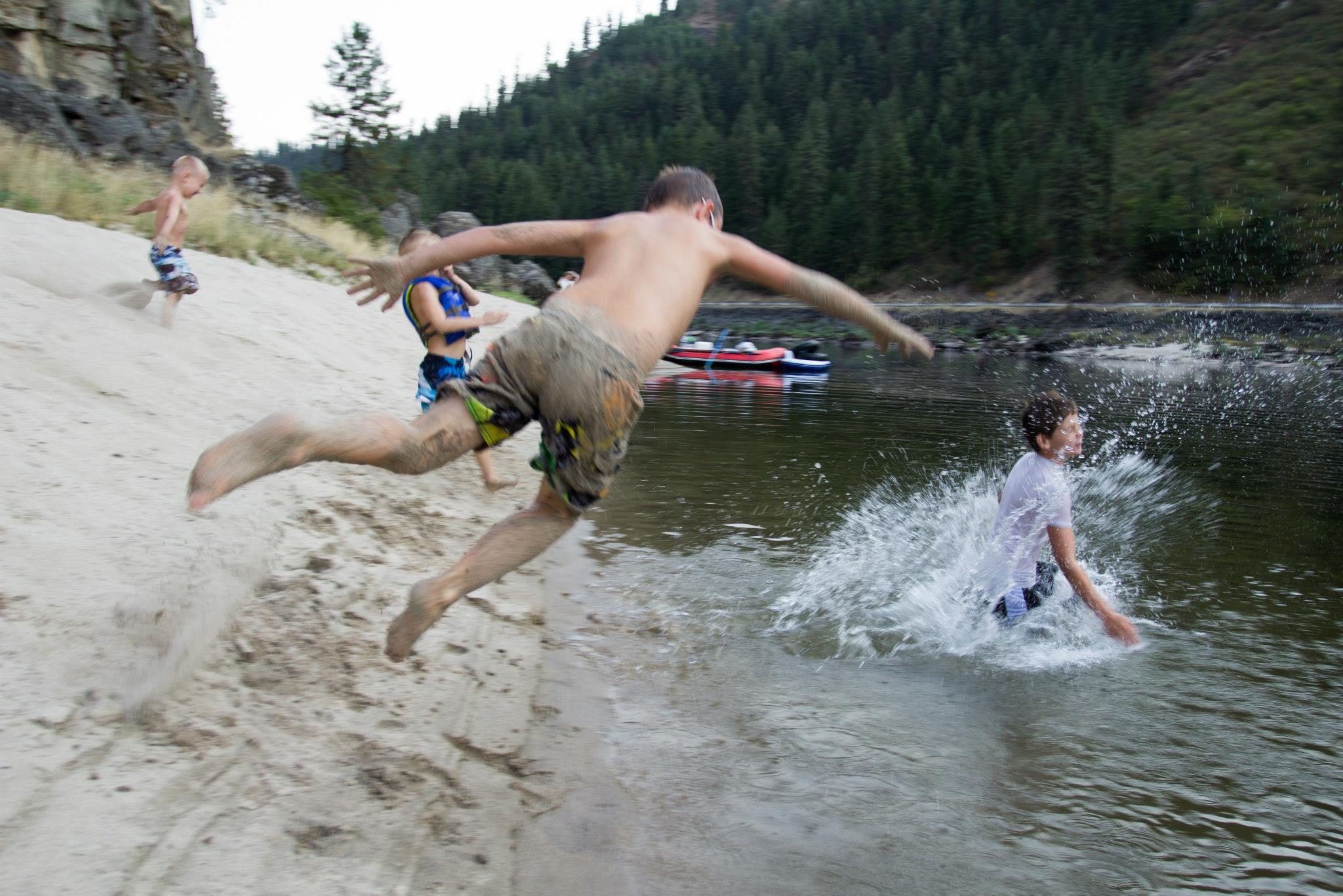
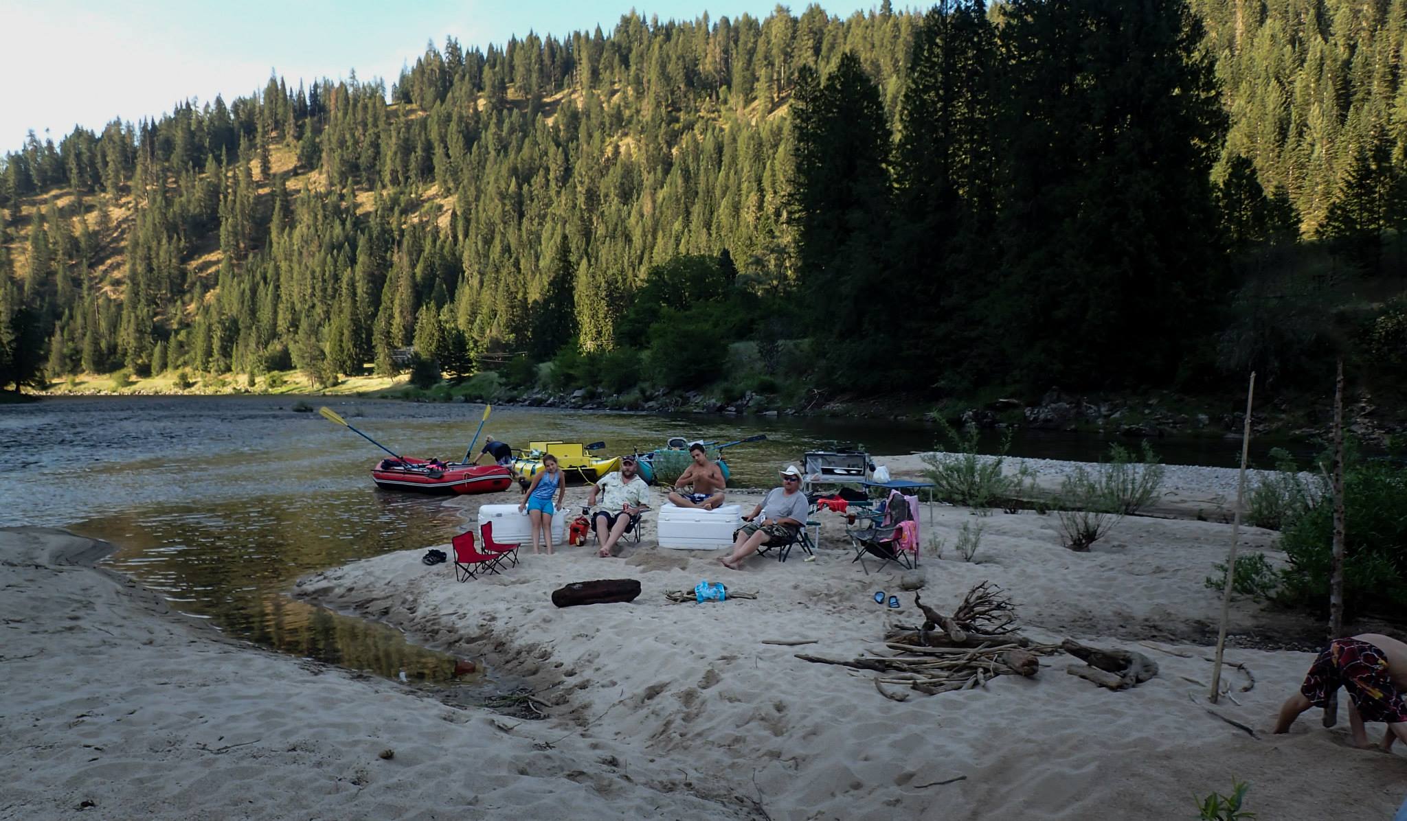
If you are new to the river floating experience, then we think that you would enjoy the Kooskia to Greer trip. This is a 12-mile trip that can be done as a day-trip, with numerous beaches available to stop and have a picnic and swim, or if you prefer, you can also make this into an overnight camping experience.
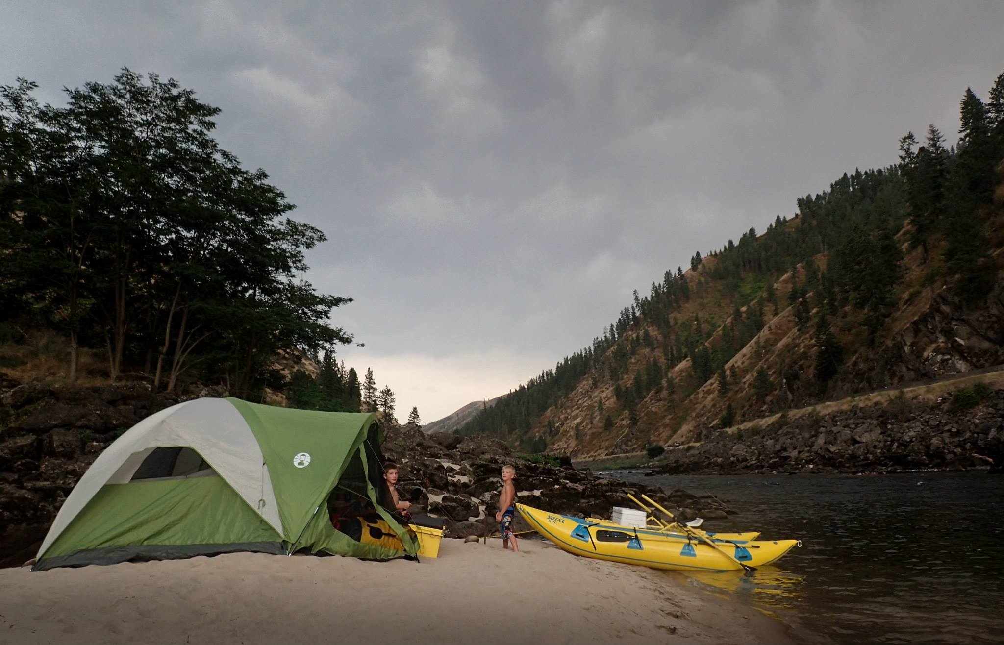
Along each section of your trip, you will pass by sites of historical significance to the Upper Clearwater River region. So, come along as we float the Clearwater River from Kooskia to Greer!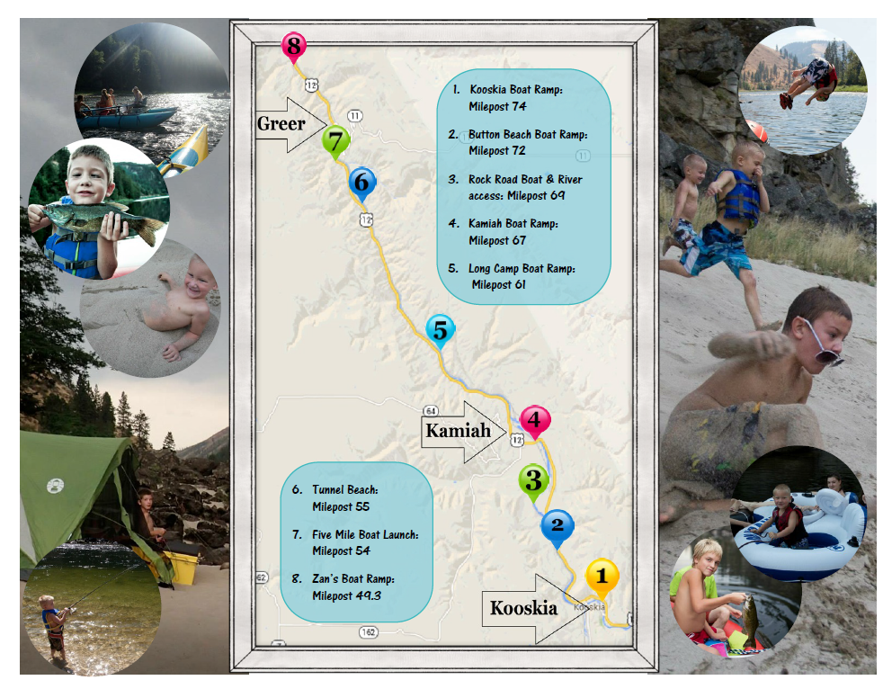
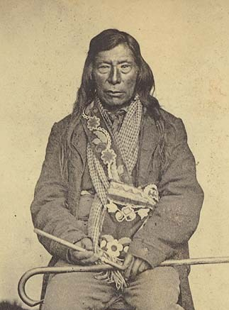
Our journey begins at the Kooskia Crossing Kiosk Boat Ramp, Milepost 74 (1) at the junction of Highway 12 and State Highway 13. This is where the South Fork of the Clearwater River meets the main fork of the Clearwater. The kiosk at this site is worth taking a few minutes to view. The illustrated panels describe the regional salmon and steelhead trout migrations, the early Nez Perce, and the Nez Perce War of 1877. There is also a panel that talks about the Nez Perce National Historical Park. The town of Kooskia (about ½ mile) from the Boat Ramp was founded in 1895 and was originally named Stuart for James Stuart a Nez Perce surveyor. Kooskia was considered the gateway to the goldfields – Buffalo Hump, Thunder Mountain, Dixie, and Elk City as it was the terminus for the railroad that came up from Lewiston. In 1909 the town was officially renamed Kooskia, meaning “clear water” in Nez Perce. It is from this point that we will launch our flotilla and head towards Kamiah.
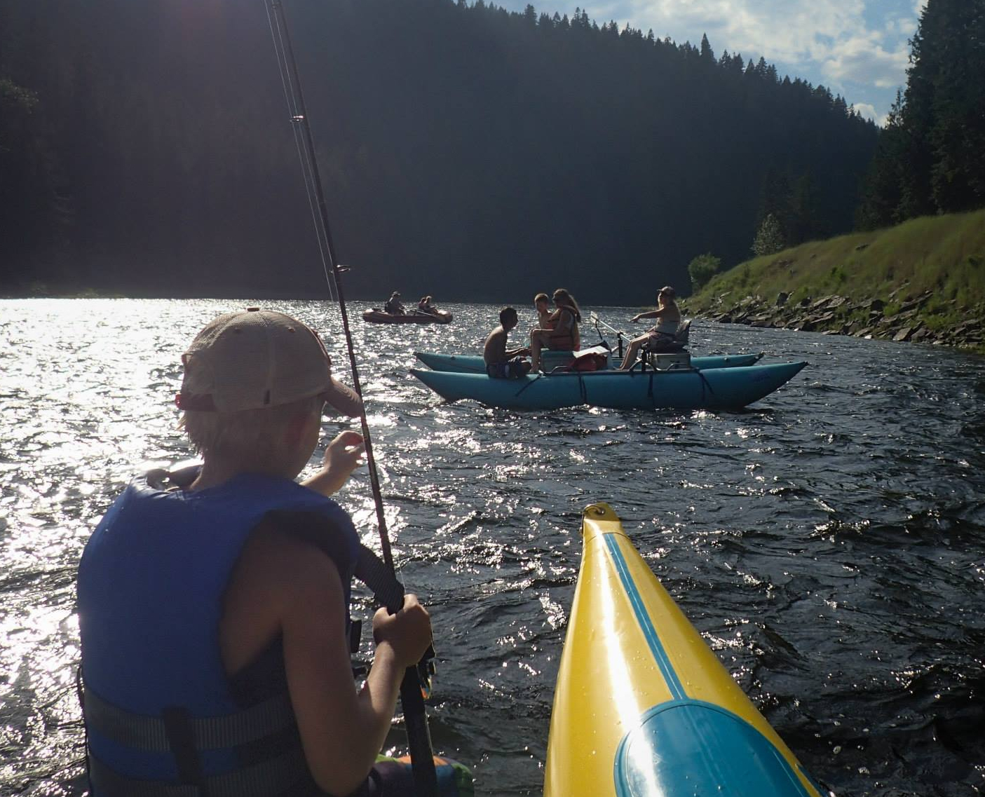
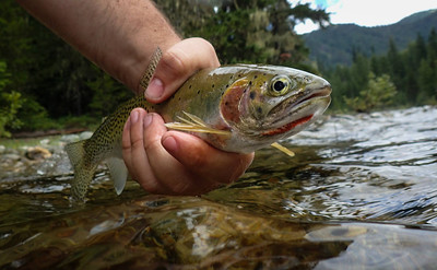
Be sure to keep an eye open for wildlife and the occasional trout that break the surface to catch the insects that might be floating on top of the water. Approximately two miles downstream from Kooskia is another popular beach called Button Beach. This is Milepost 72(2) along Highway 12. This is also a boat ramp. Its wide sandy beach offers a great place to get out of the water if you want to take a few minutes and stretch your legs.
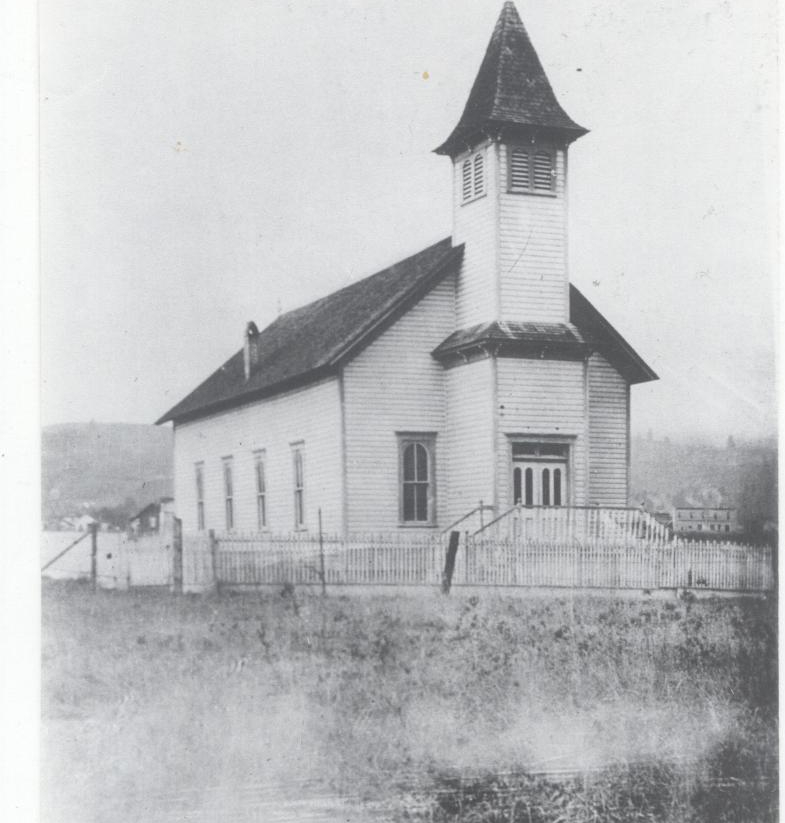
As we lazily float down the river, you will come to Rock Road Boat and River Access, Mile Post 69 (3). You are now entering what is known as East Kamiah. This is where two sisters by the name of McBeth traveled to the west to minister to the Nez Perces. Their mission, called the McBeth house still stands. Directly across from the mission is their church; First Presbyterian Church. Upon their death, the Sisters were laid to rest in the cemetery directly adjacent to the Church. Both the Church and the McBeth House can be viewed from Highway 12.
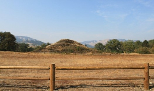
A short distance past the McBeth House is the Nez Perce Historical Park and Heart of the Monster. This site commemorates the creation of the Nimiipuu, The People, known as the Nez Perce. This is where Coyote killed the monster and created the Nimiipuu people. This site is accessible from the Highway side and features paved walking paths and audio stations
![Heart of the Monster IV[1]](https://dustywindshield.files.wordpress.com/2020/08/heart-of-the-monster-iv1.jpg)
By now you should almost be direct across from the mouth of Lawyers Creek, coming into the Clearwater River on your left. Named for Chief Lawyer a prominent figure of the Nez Perce history. Slowly you will meander past the Kamiah Boat Ramp (4). Now you are starting your journey down the main part of the Clearwater River, navigating the same water-way the Lewis & Clark Corps of Discovery did on their way to the Pacific Ocean.
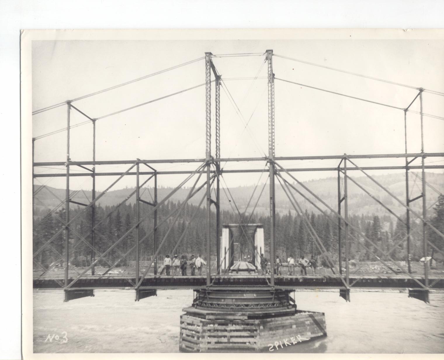
At about a quarter-mile downriver from the town of Kamiah, you will float under the metal railroad bridge with its rock piers built around 1895. The center part of this bridge was made to pivot so that stream boats from Lewiston could navigate the river and dock in Kamiah. One ship, the Lewiston, made its maiden voyage, in 1896 but it was deemed, then, the river was not suitable to stream ship travel. 1896 was the last time the center span of the railroad bridge was pivoted.
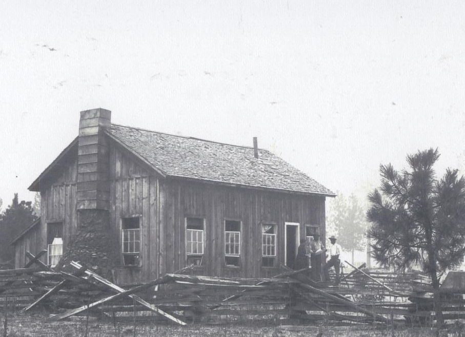
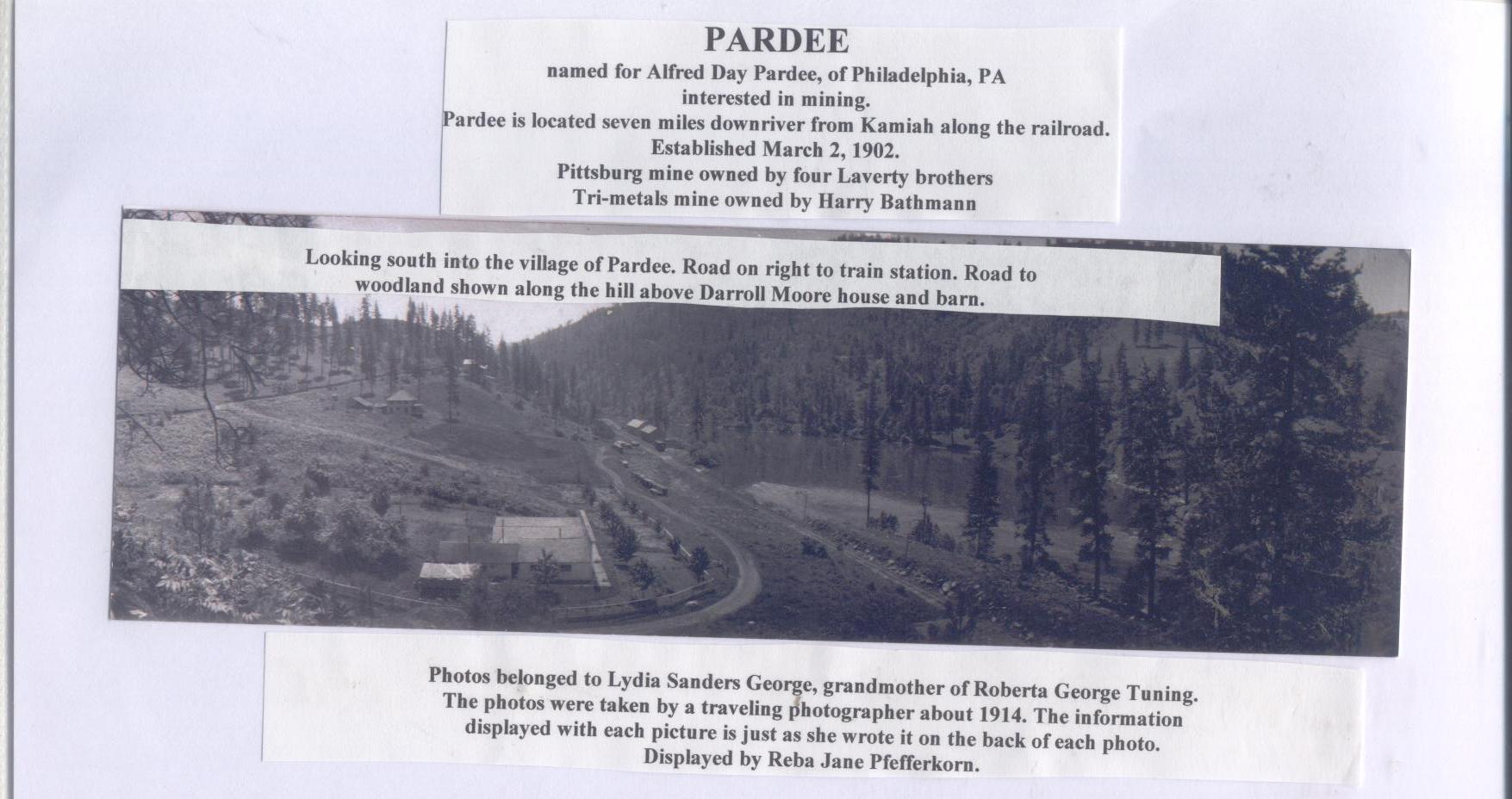
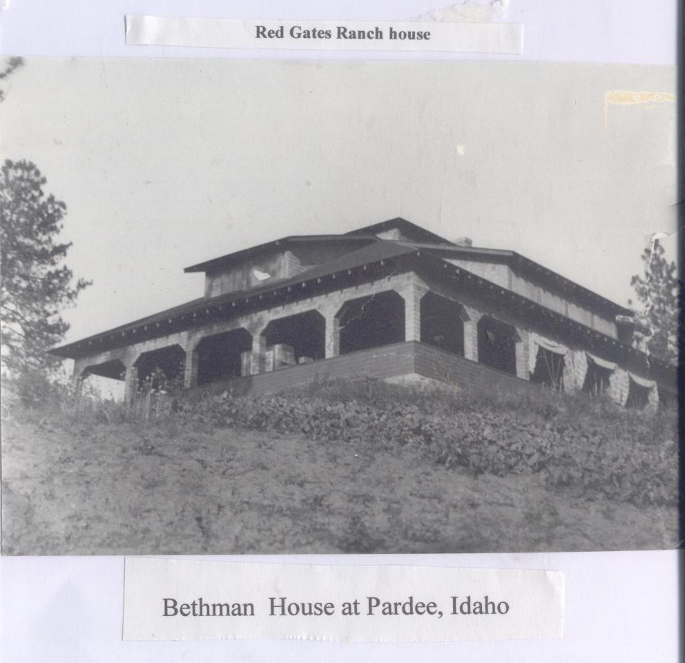
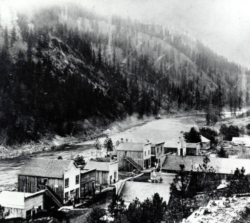
Along the north slope of the Clearwater River was once the townsite of Pardee, now nothing more than a ghost-town in Kamiah’s history. The town sprung up because of the gold that was discovered in the quartz rock that was unearthed from the construction of the railroad tracks. The gold supply diminished, but Pardee hung on for a few years then faded away like so many of the towns associated with the Idaho gold boom. At one time there stood a grand home on the bench overlooking the Pardee townsite. This home belonged to Freida Bethmann and her son Miner. Much rumor surrounded this family. Some say Freida was the mistress of the late President, Grover Cleveland and that Minor was his child. Nothing was ever proven or disproven about the rumors. Freida passed away in 1951 and the house was dismantled in the 1960s. Its contents, elegant and expensive for rural Idaho at the beginning of the 20th century, were then auctioned off in 1976. The property, now privately owned, and the rocky slopes of the Clearwater River are the only ones that know the true story of Freida and Minor Bethmann and their association with Grover Cleveland.
By now, you are getting close to your destination. If you need to stop and take a break, there is Long Camp Boat Ramp (5) and Tunnel Beach (6). Tunnel Beach is named for the train tunnel that has been cut through the rocks to allow the expansion of the railroad from Lewiston to Kamiah. Even though this section of the railroad track is hardly used, caution should be taken when exploring the tunnel or the area around it.
Another great stop point is at Five-Mile Boat Launch (7). Here you will find restroom facilities and adequate vehicle parking if needed.

You are now at Greer (8). The hamlet of Greer unofficially began when mountain men William Craig and Jacob Schultz built a ferry upstream, from the Greer Bridge, in 1861 as a convenience to the miners traveling to Pierce City and Oro Fino (the first townsite of Orofino). In 1877 John Greer and John Dunn platted the township.
Pack strings of 100 mules, laden heavy with gold nuggets and gold dust made their way down the steep hillside to the Greer Ferry, headed to the banks in Walla Walla. This was also the route for the Pony Express riders carrying mail to the goldfields. It is on the same ferry that the Henry Plummer’s outlaw gang crossed the Clearwater River headed to the town of Oro Fino to murder Pat Ford. Ford had earlier escaped their ambush on the trail, but he was not so lucky the second time. The Plummer Gang shot him in cold blood in front of his own saloon. It was not unusual to see agents from the Government of China leading mules down the hillside toting the skeletal remains, crossing on the Greer Ferry. It was the custom for the China Government to send agents to reclaim the dead Chinese miners and transport their remains back to China for proper burial.
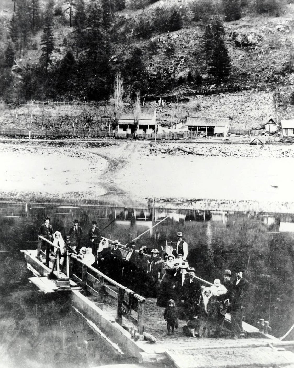
In 1877 in the haze of the Nez Perce War, with an effort to slow down the advancement of General Howard and his troops, the Nez Perce cut the ferry loose and burned the ferry house; a significant part of Idaho’s gold rush history floated away.
We hope you have enjoyed our “Float Trip History Tour” So if you are looking for some fun, grab your float devices (don’t forget the Pink Flamingo), the coolers, the kids, and head on down to enjoy the day on the Clearwater River.

For more information about this float trip, visit http://www.kamiahchamber.com to download a printable copy of the brochure “Float Trips of the Clearwater River: Kooskia to Greer”
 Happy Trails . . . . . . . . . Dusty Windshield
Acknowledgments:
Robert Millage Photography
Kamiah Historical Museum
Kamiah Chamber of Commerce
